Hør Denys Grombacher, adjunkt ved Institut for Geoscience, Aarhus Universitet, fortælle om, hvordan geofysiske metoder kan afhjælpe vandmangel i verdens udsatte regioner.
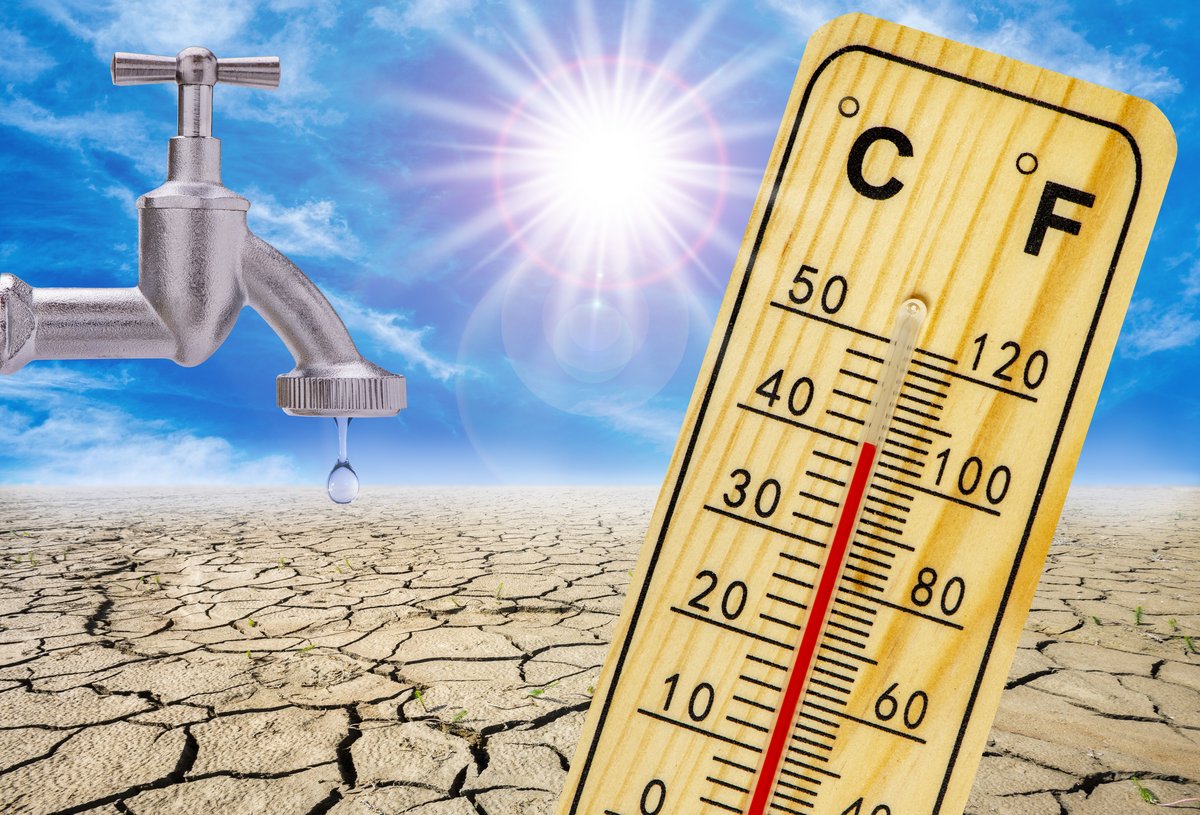
Water scarcity is a serious problem in many developing countries, particularly in regions with dryland conditions that are highly vulnerable to climate change. Ensuring a sustainable future in these areas depends on effectively managing local water resources. However, this task is challenged by the lack of detailed knowledge about local groundwater systems, a common issue in developing countries with insufficient hydrogeological data.
To address these water issues, we need proactive management strategies. One promising solution involves using geophysical methods, which are non-invasive techniques that help us understand the properties of the ground beneath us. Much like an MRI or CT-scans provide detailed images of the interior of the human body, geophysics can provide similar insights about the presence and distribution of groundwater at depth.
Geophysical methods come in many different forms, including ground-based, vehicle-towed, and airborne modalities. These techniques are cost-effective and can be deployed in areas with limited data to reveal much-needed details about groundwater systems. Examples where these systems are used to inform groundwater systems in remote conditions will be given, including examples from Denmark, Africa, and Antarctica.